
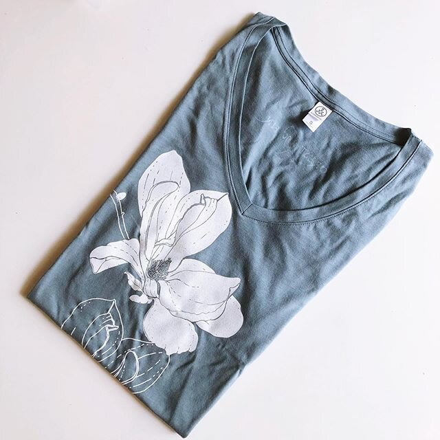
SHOP OUR HANDPRINTED EARTH-FRIENDLY TEES at Superbloom
Our online shop is temporarily closed while we build out our new studio space. However, our tees are still available to shop in person at Superbloom Savannah in Savannah, GA.
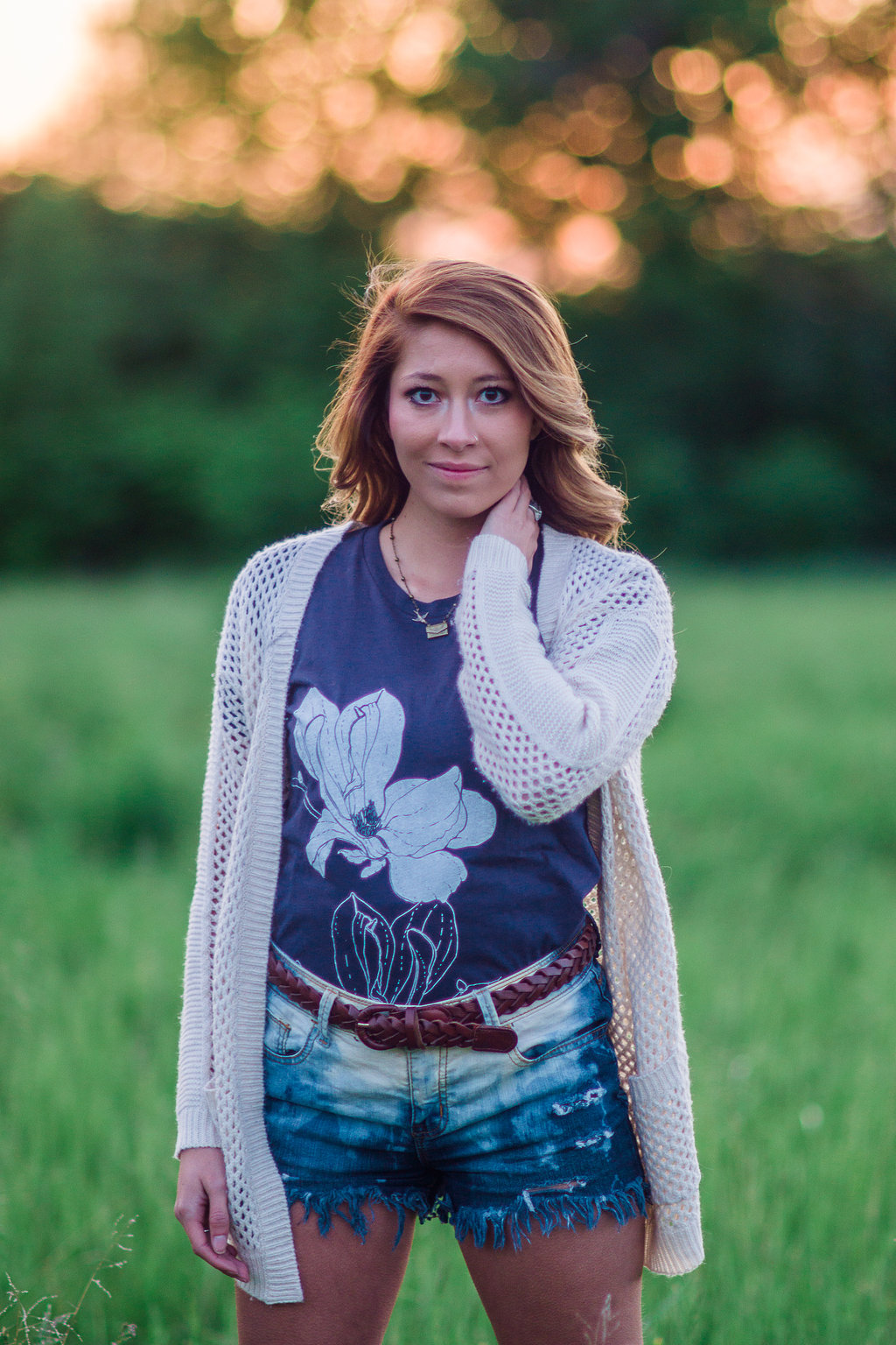
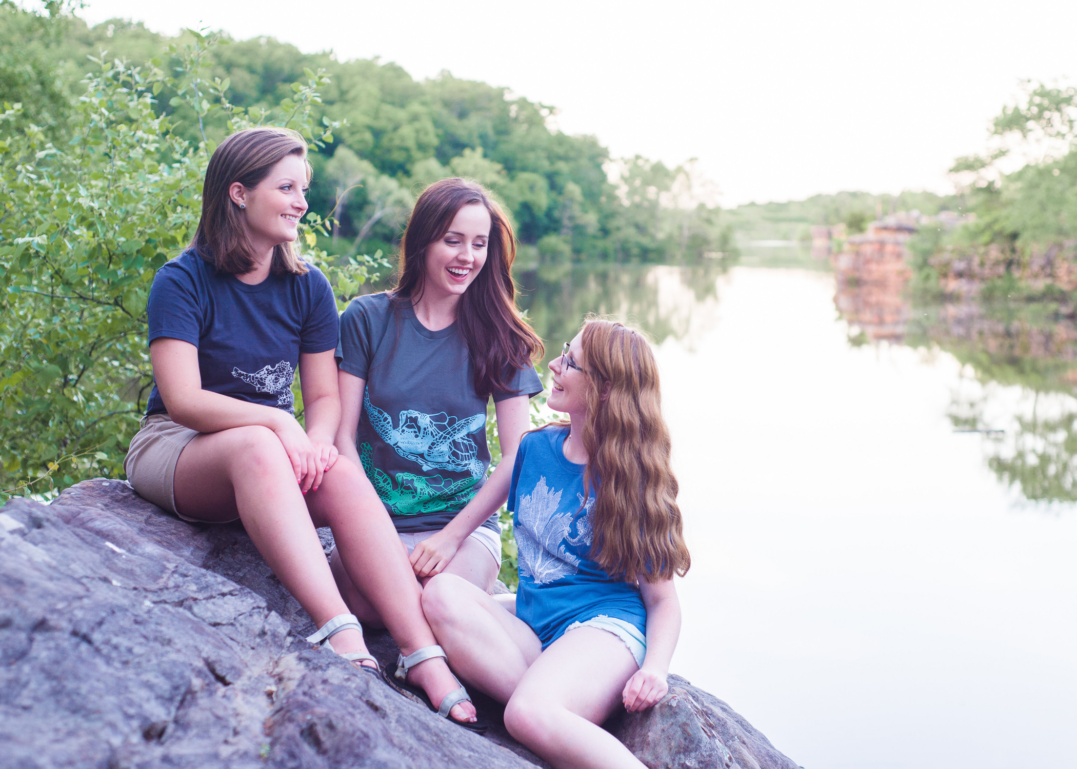
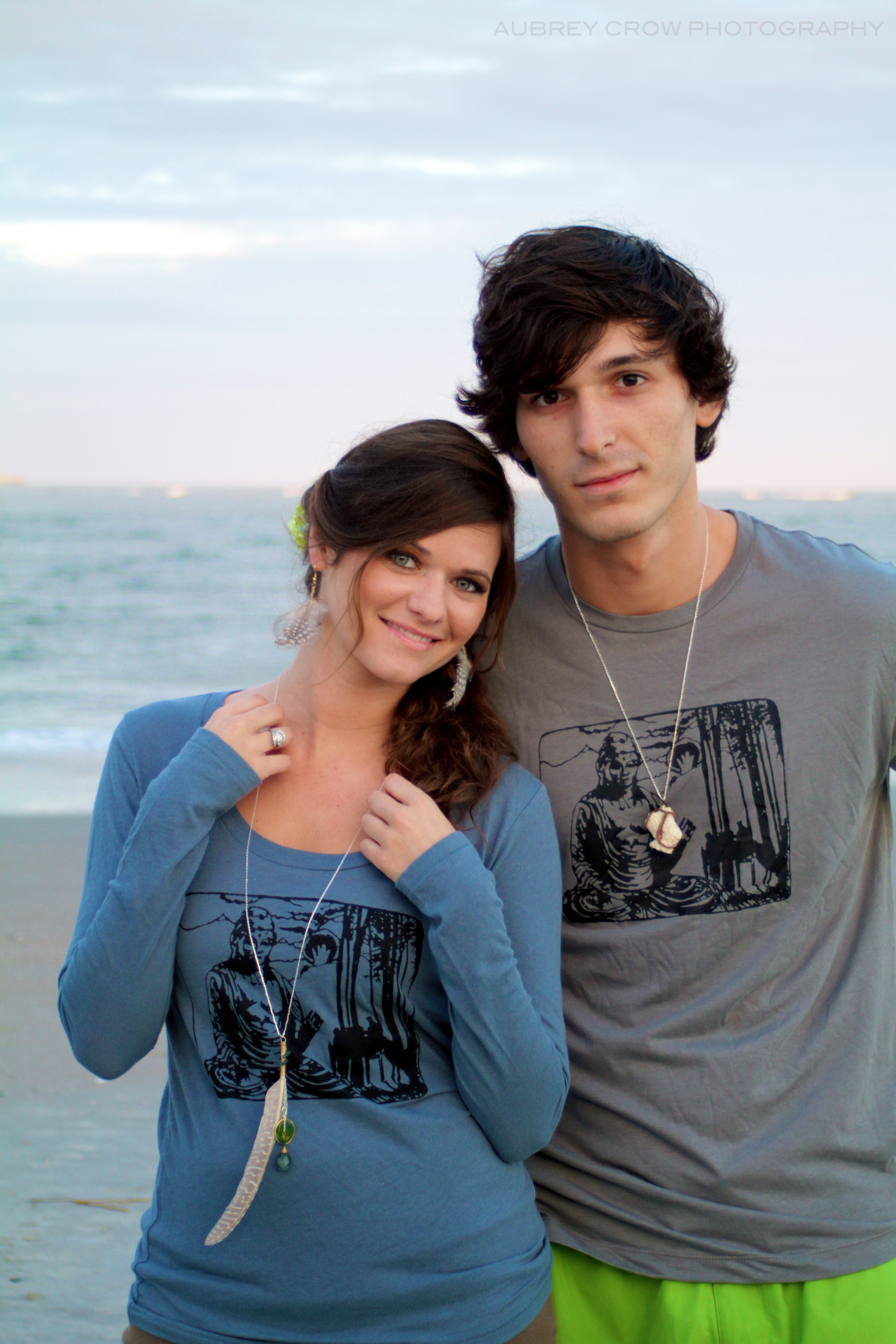
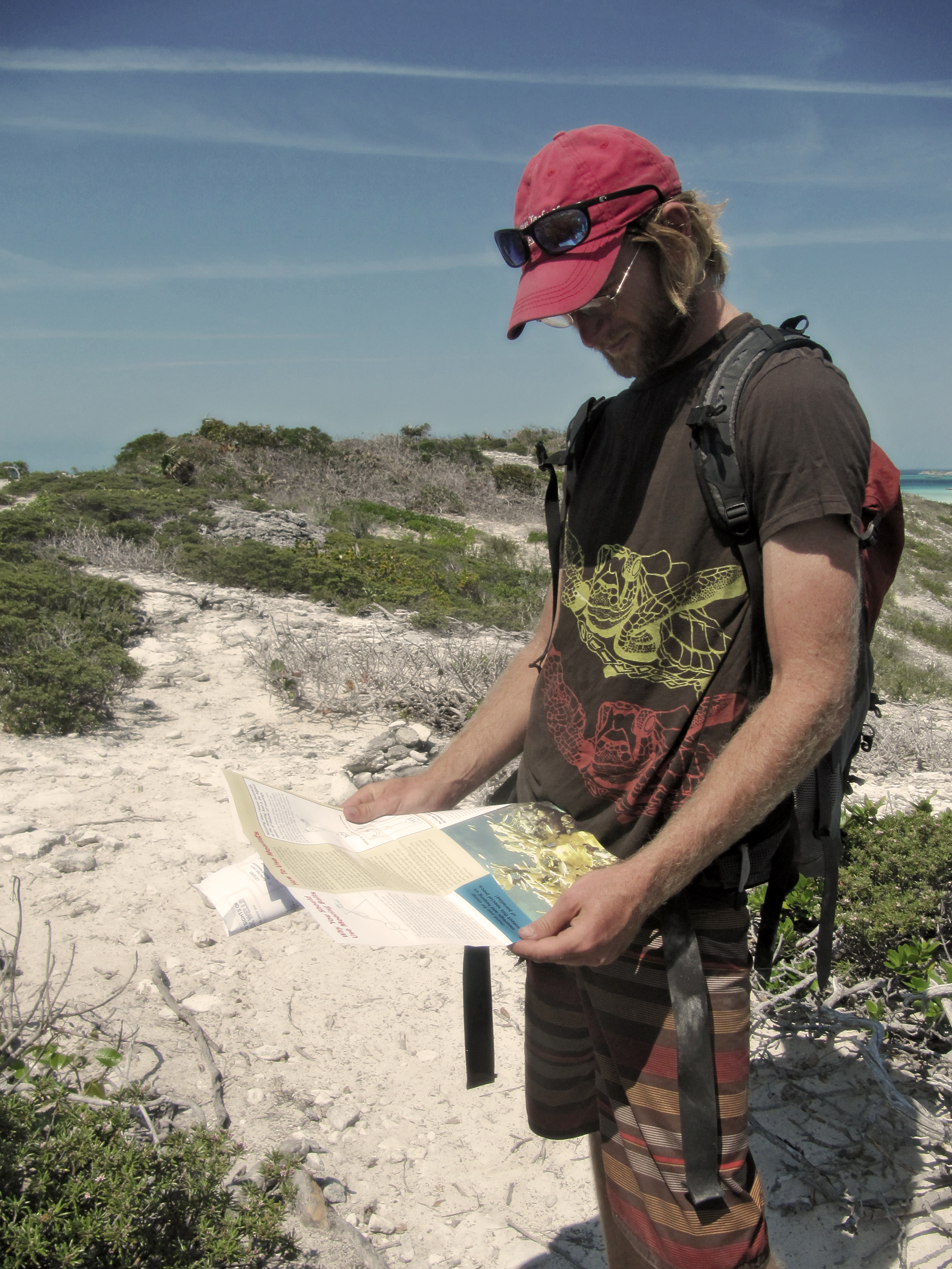


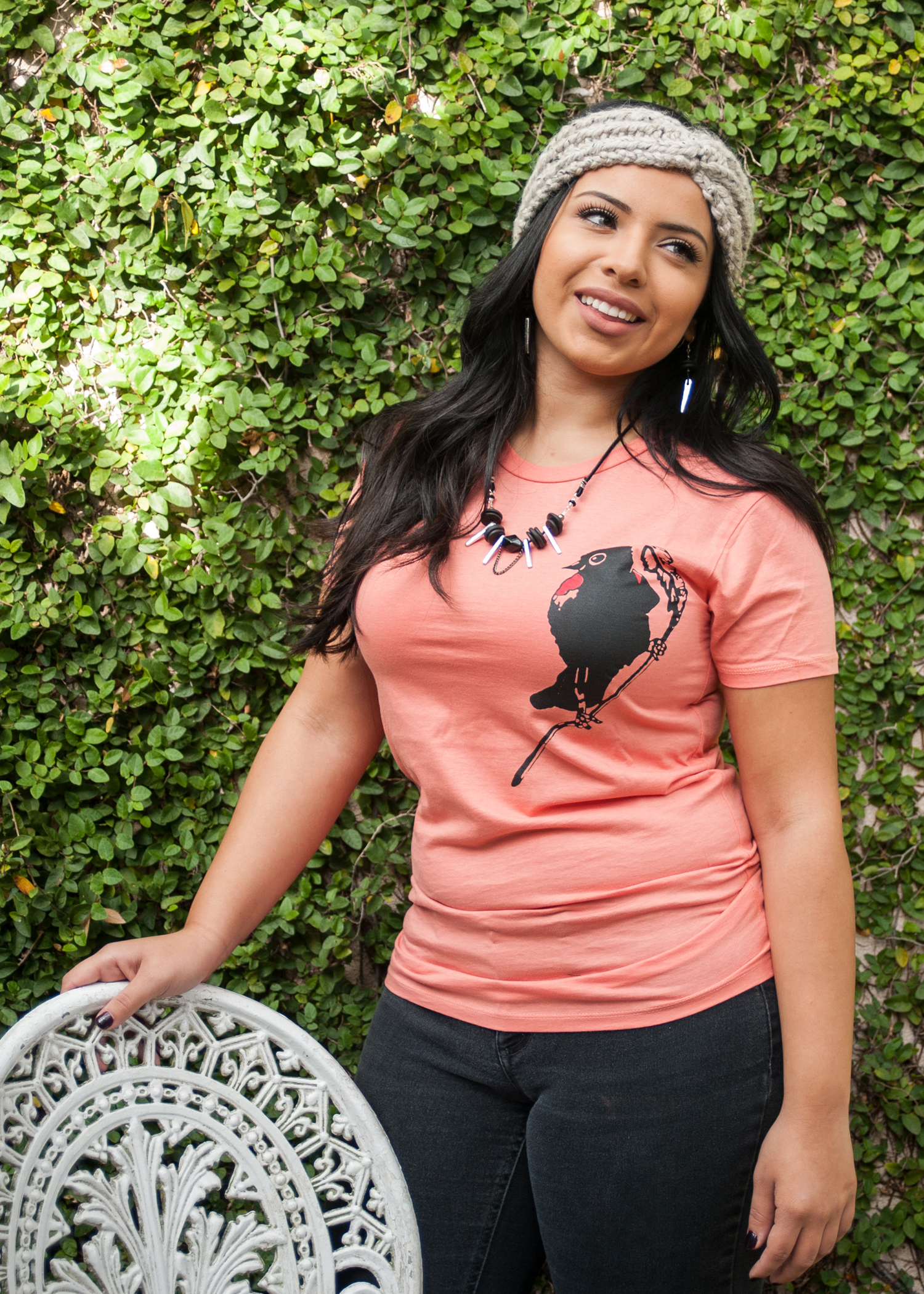
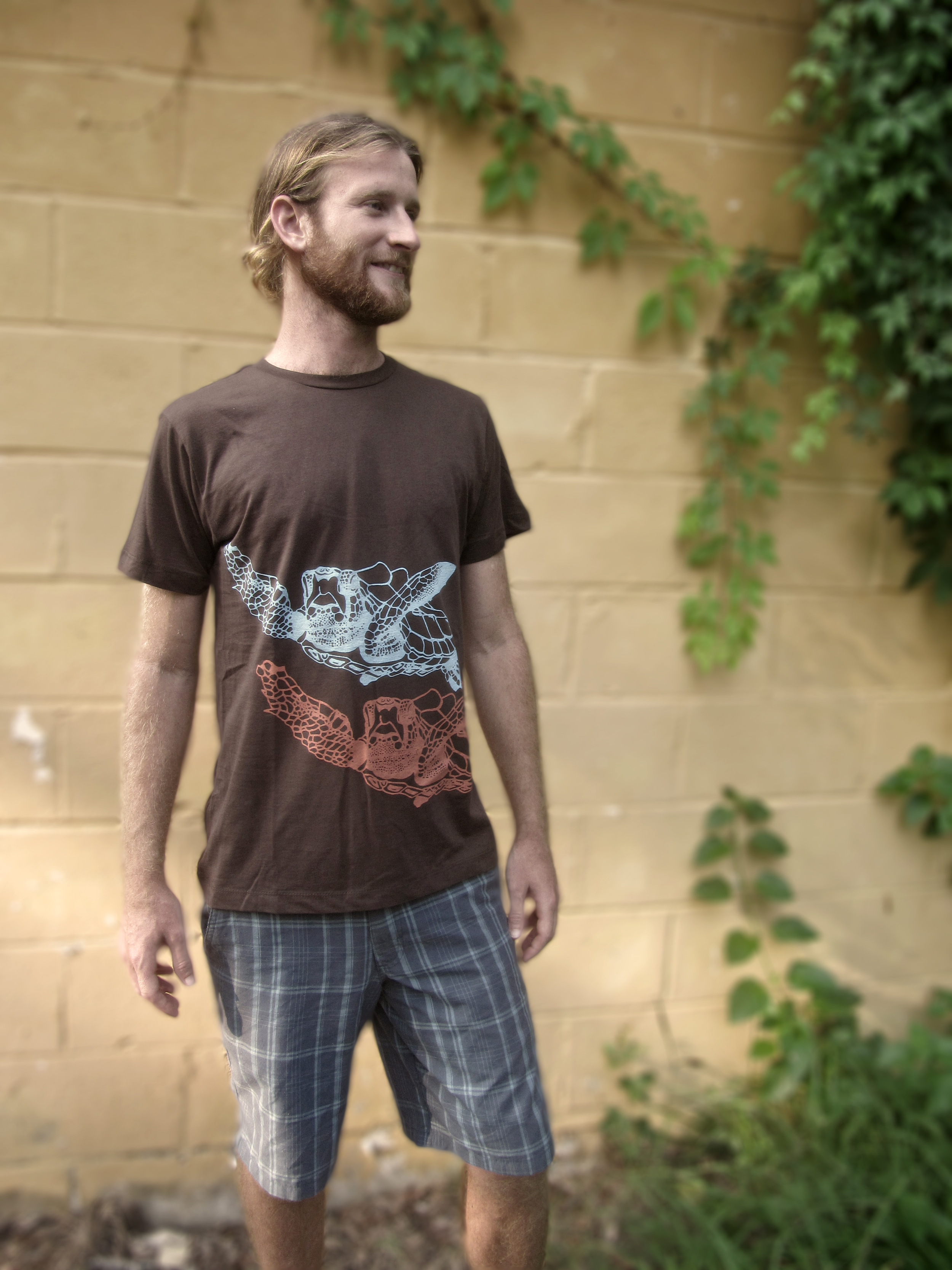
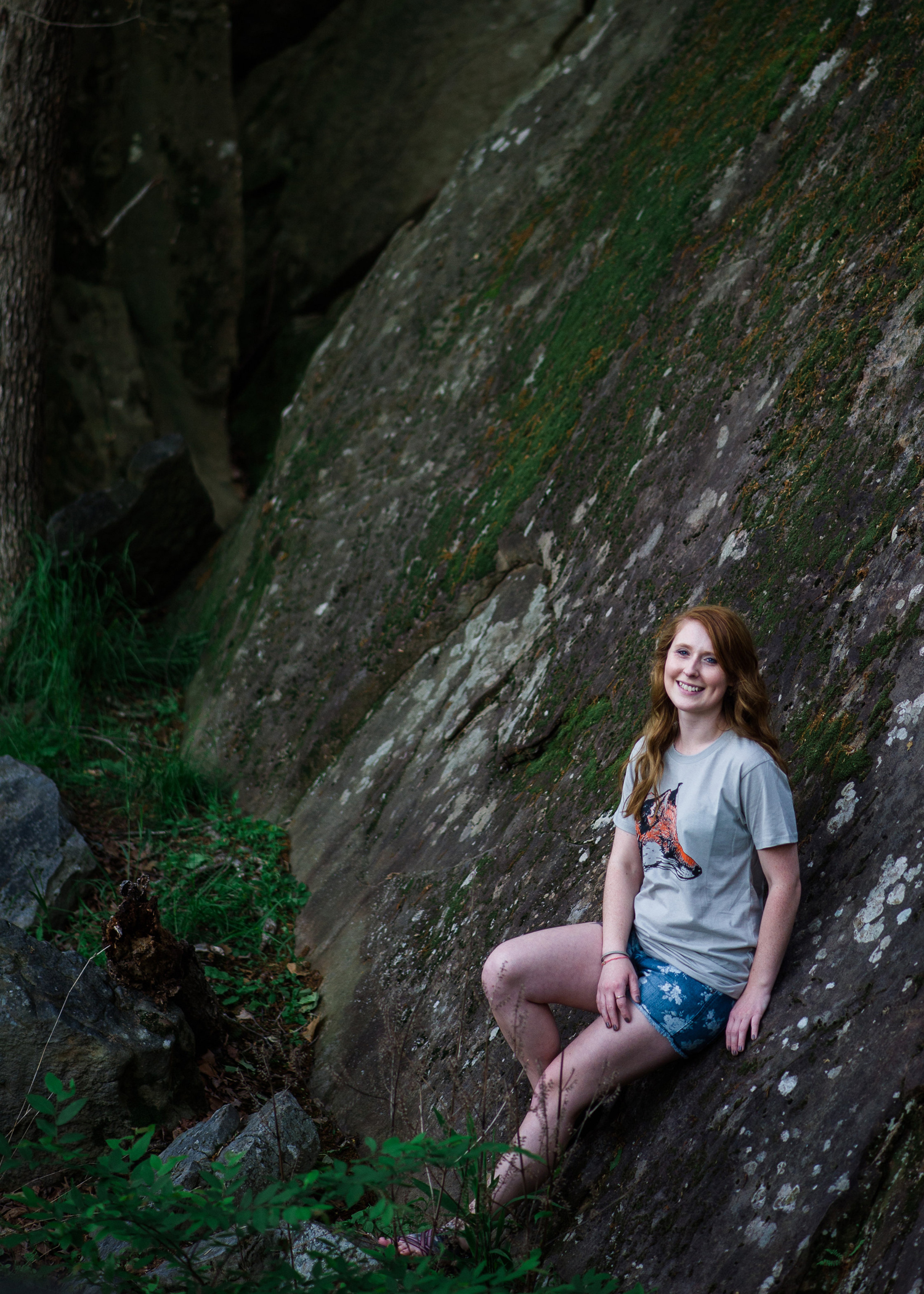

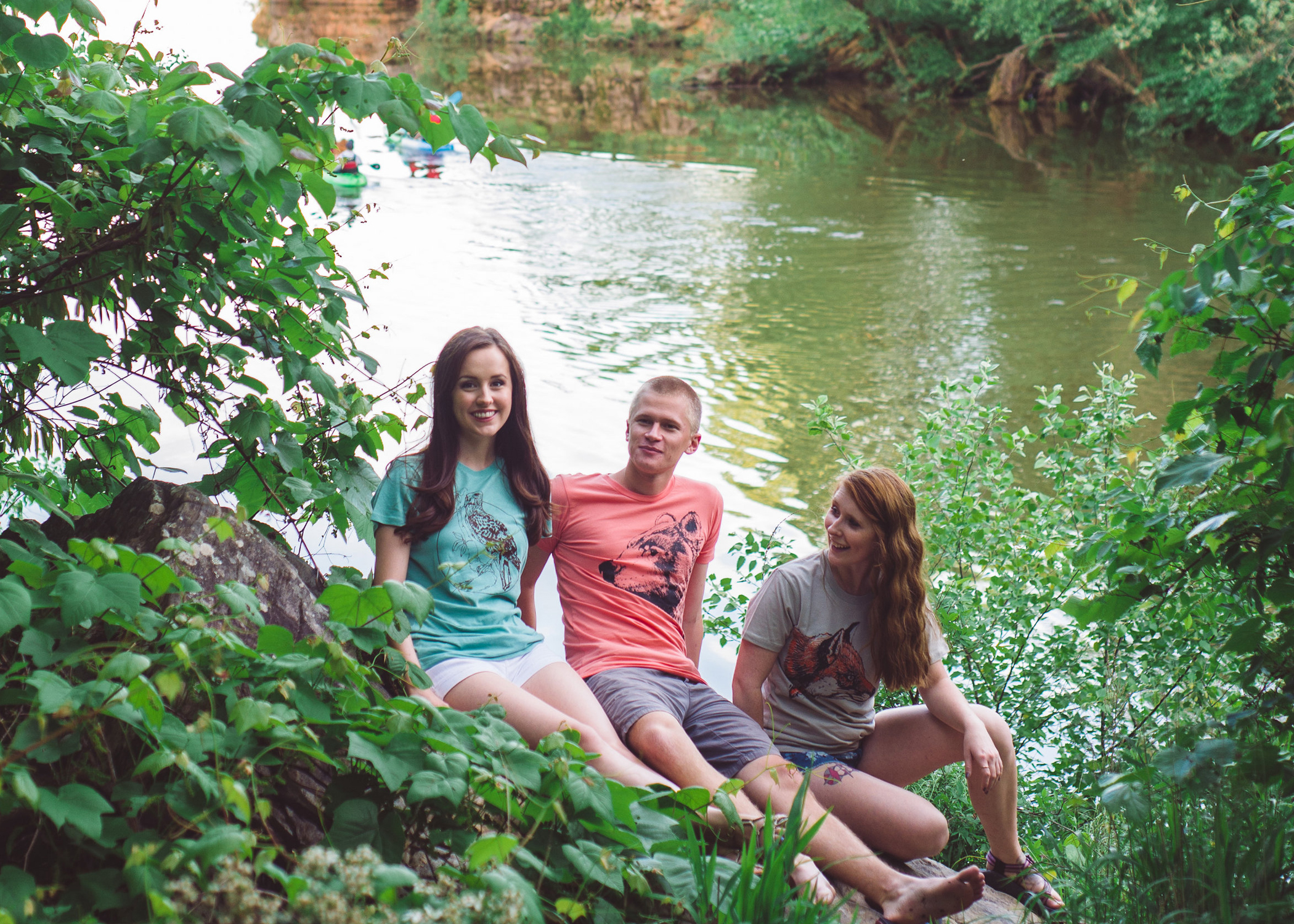
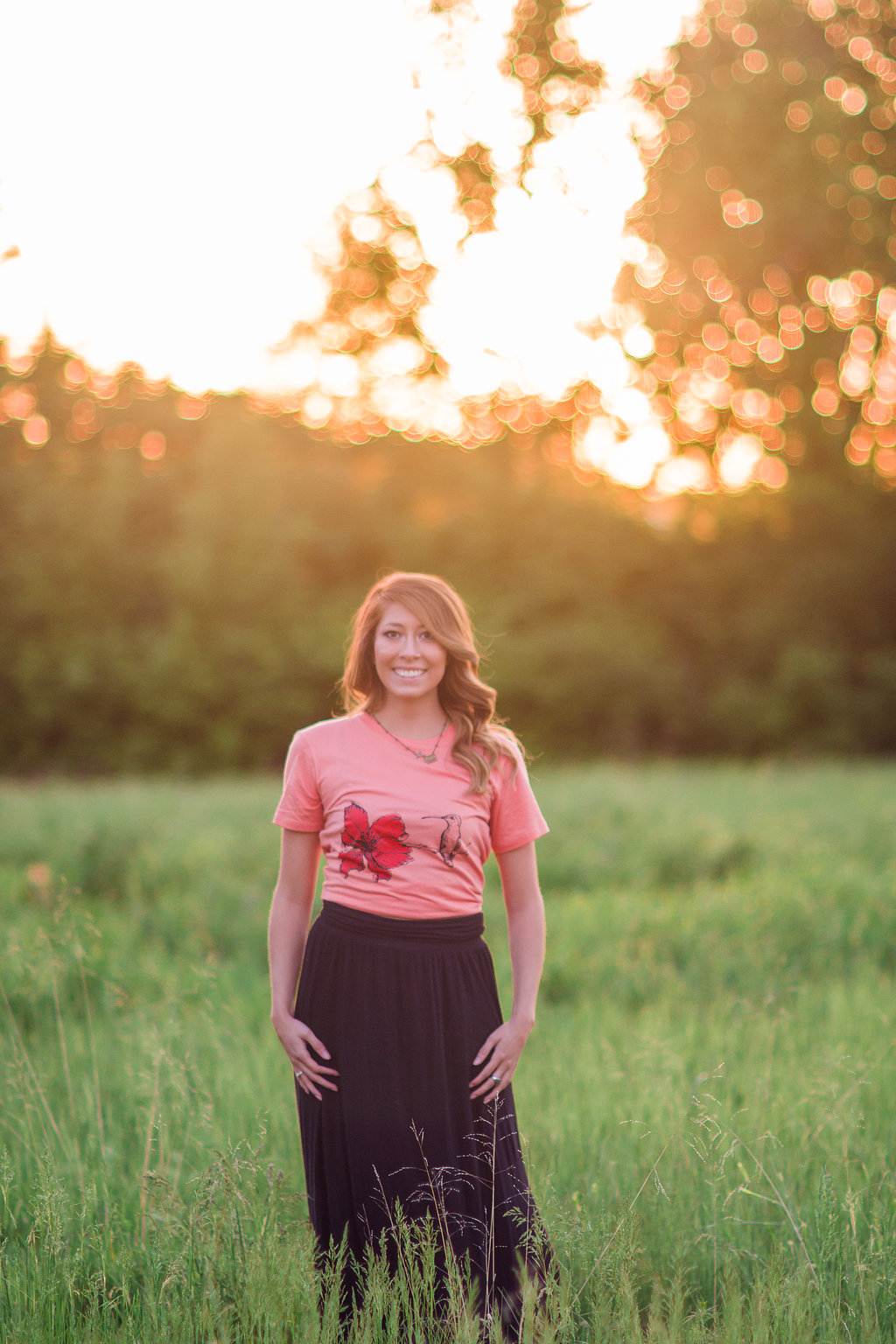
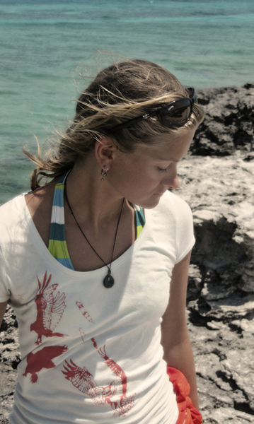

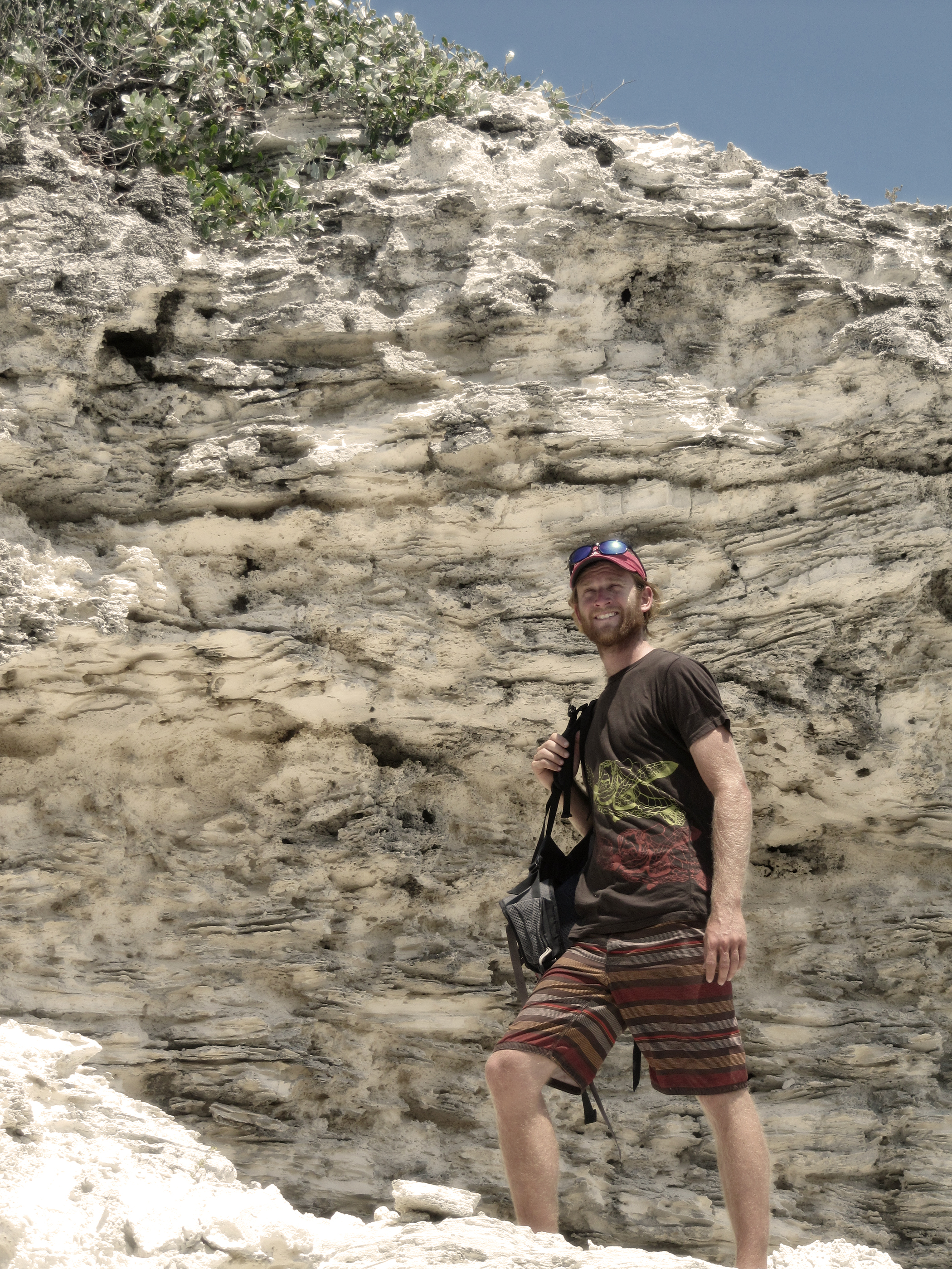
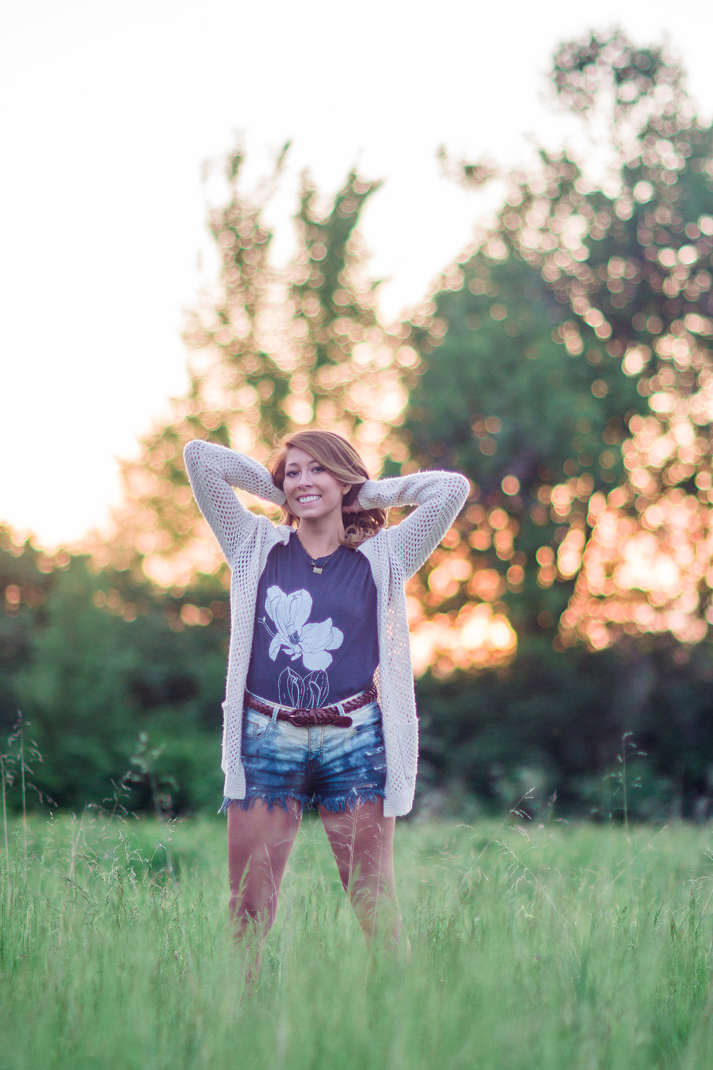
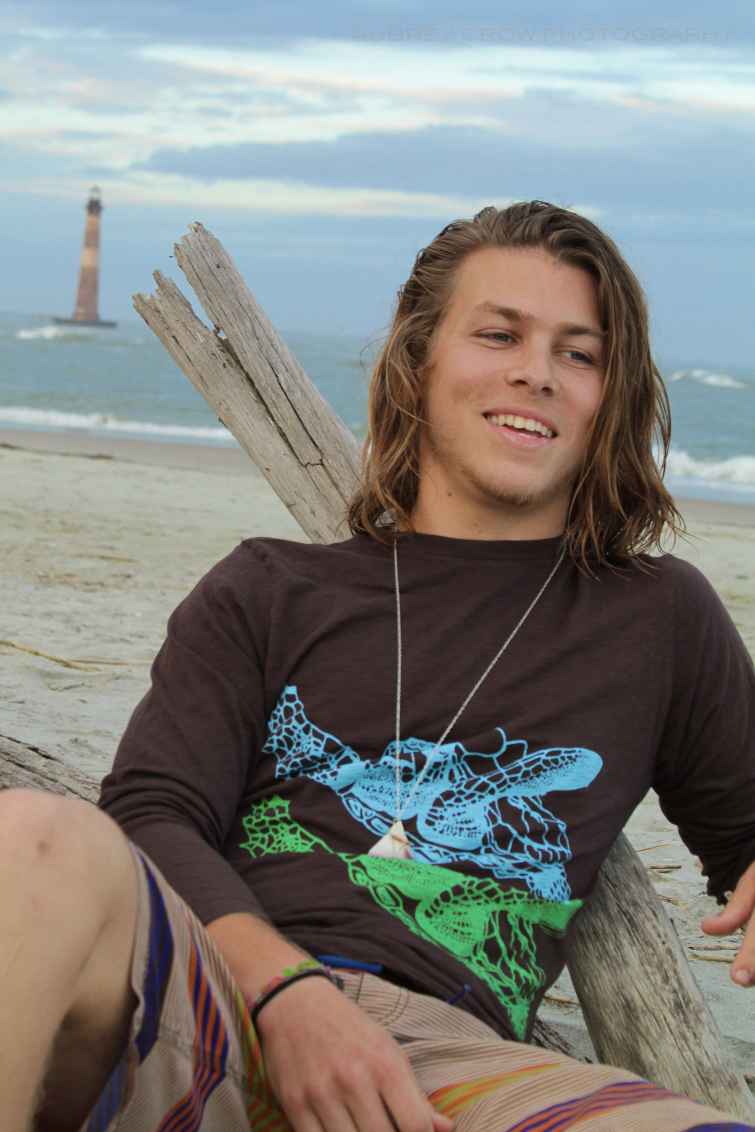
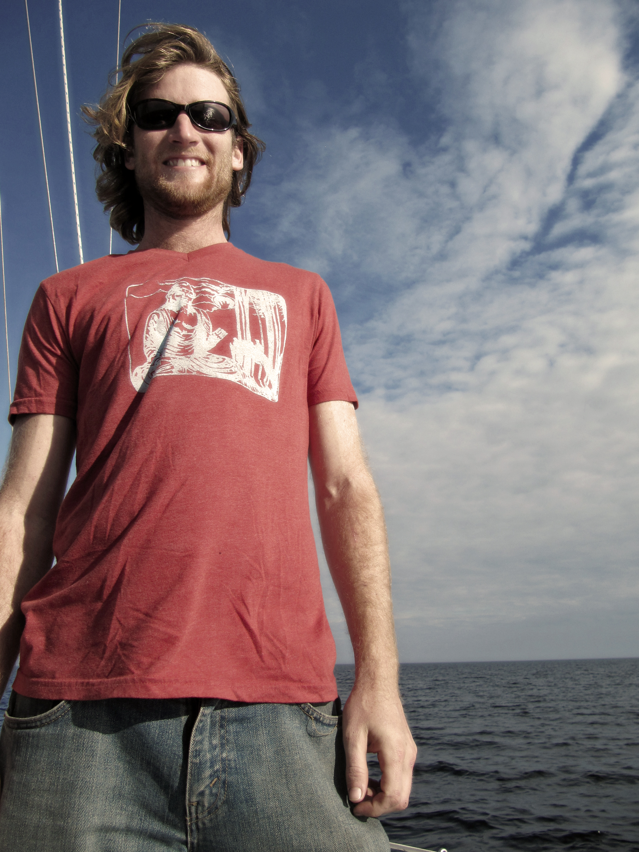
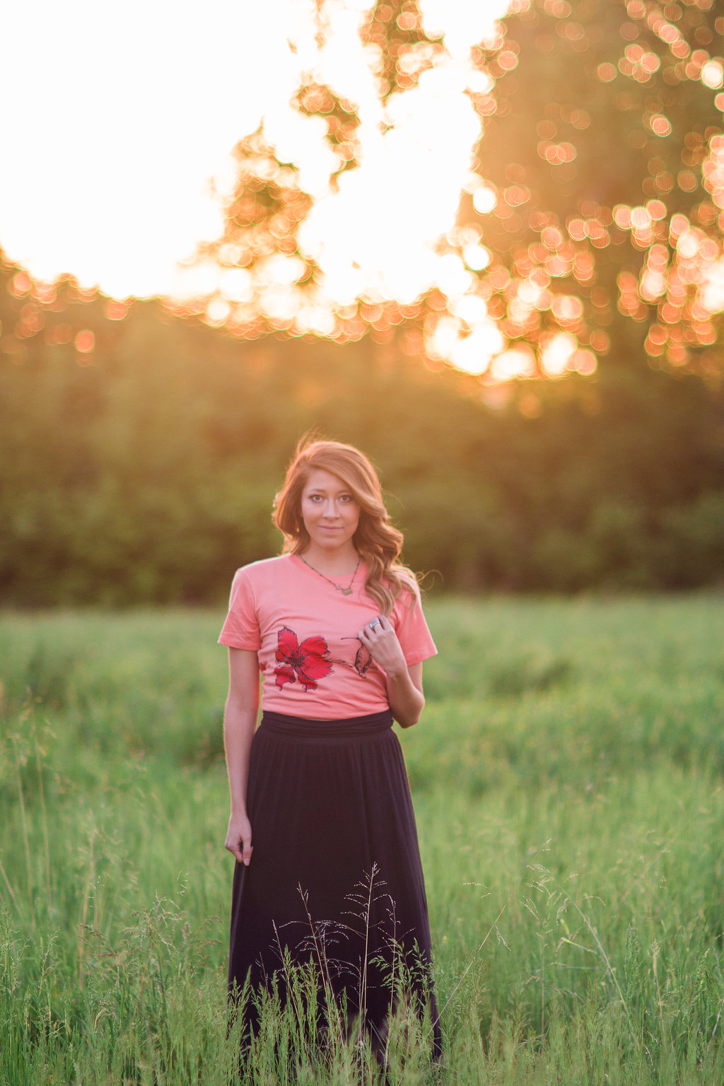
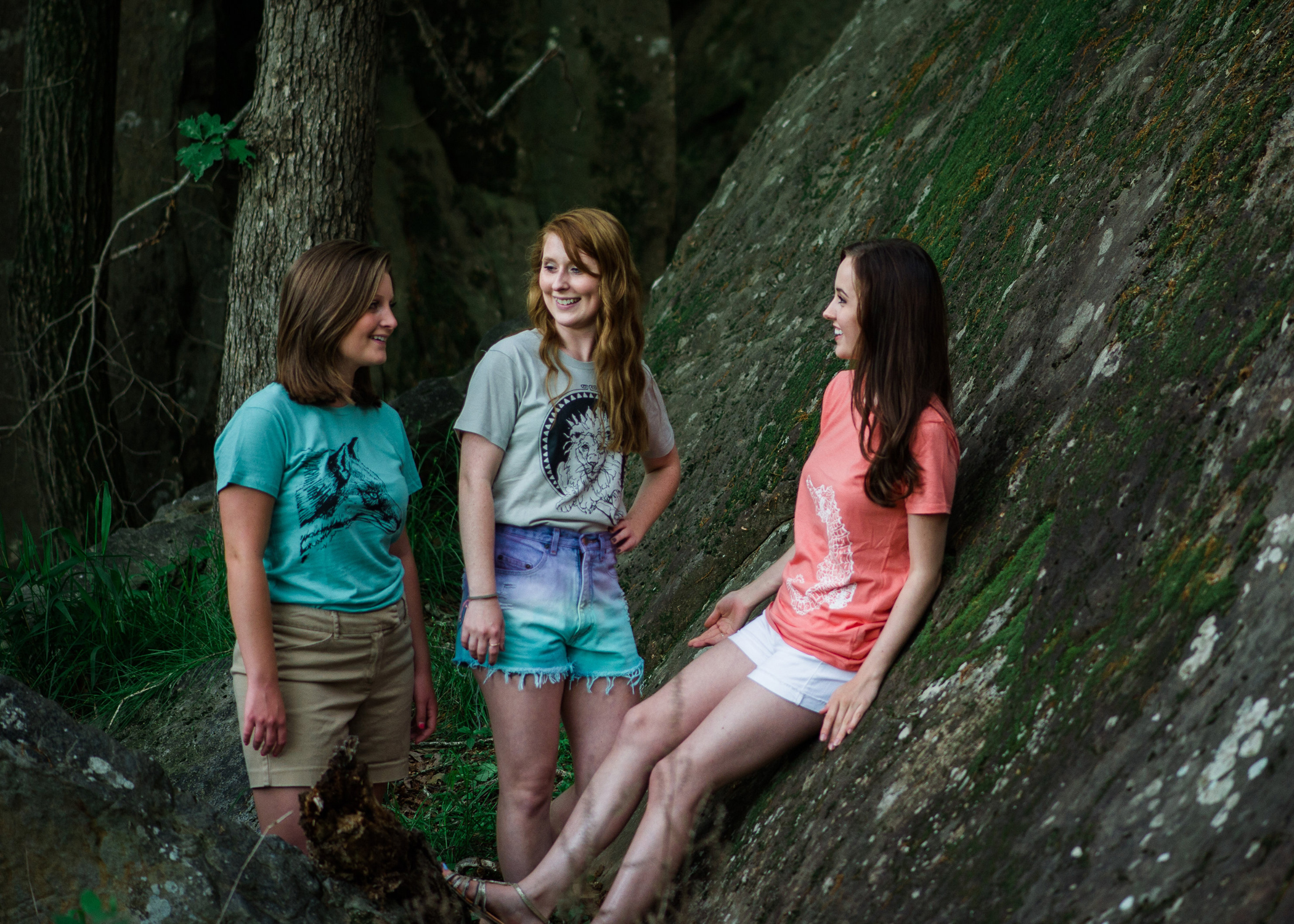
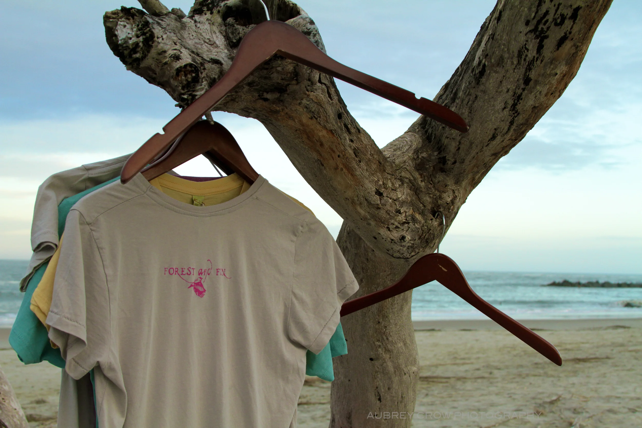
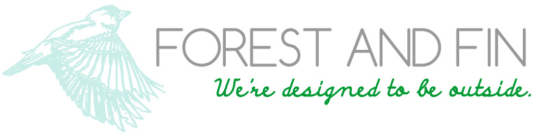
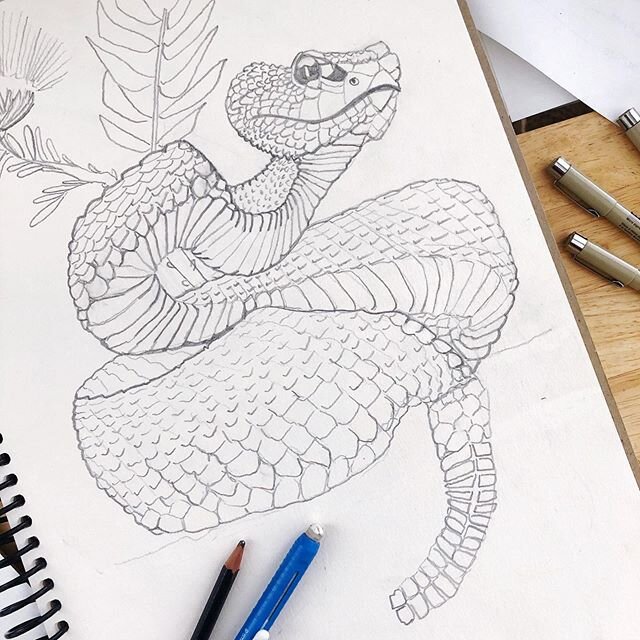
“Our nature-inspired designs are hand-drawn and hand-printed in our Savannah studio with eco-friendly water-based inks.”


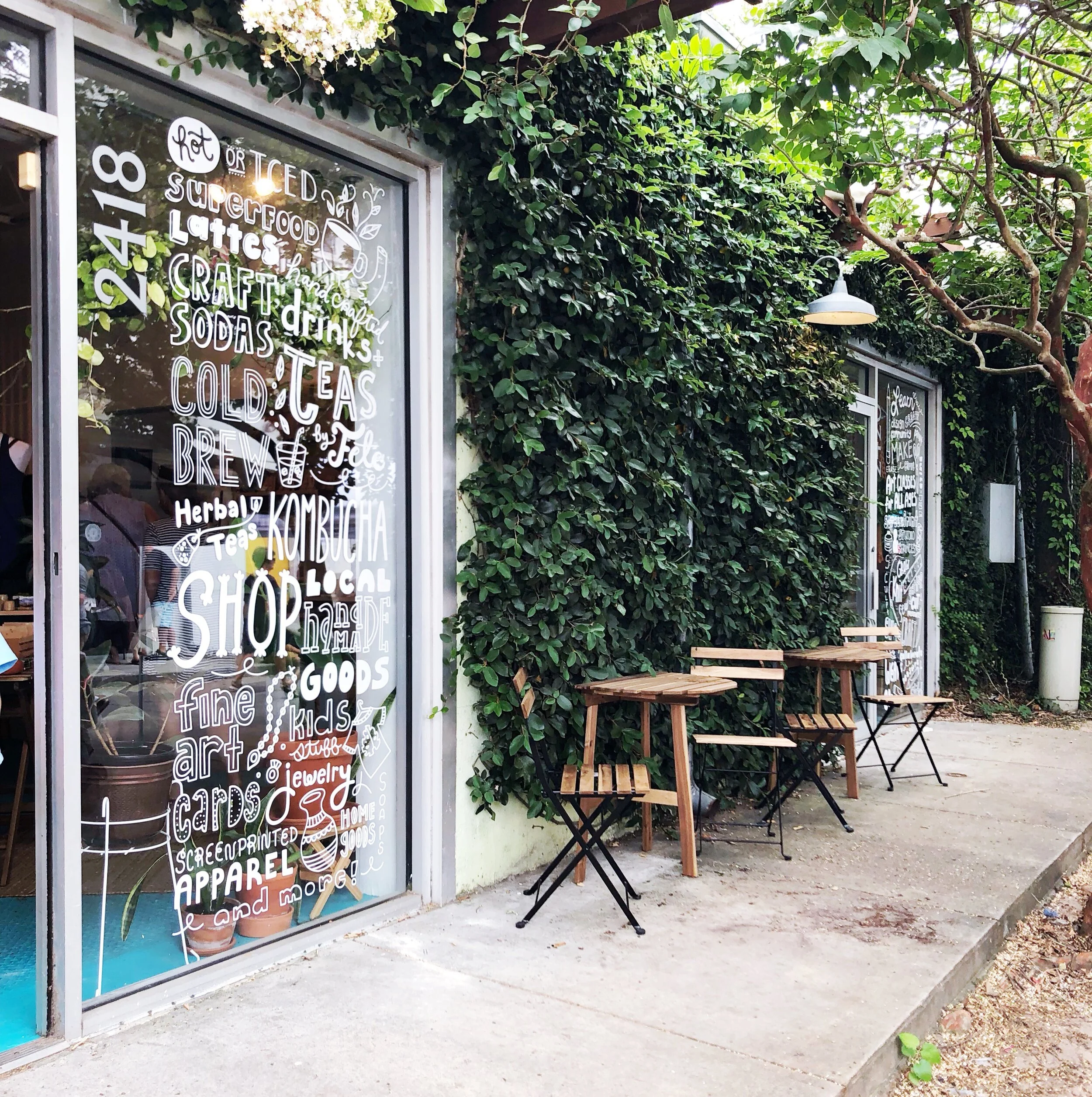
Visit our studio and shop in the Starland District of Savannah GA!

2418 Desoto Ave
Savannah, GA 31401
Tues - Sat 9 - 8 PM
Sun 9 - 4 PM
FIRST FRIDAYS OF THE MONTH 6 - 9 PM
Now serving specialty drinks at our shop drink counter including Superfood Lattes, Kombuchas, Cold Brew, Teas, Clean Wines, Sake, Mead, Cider, and more!
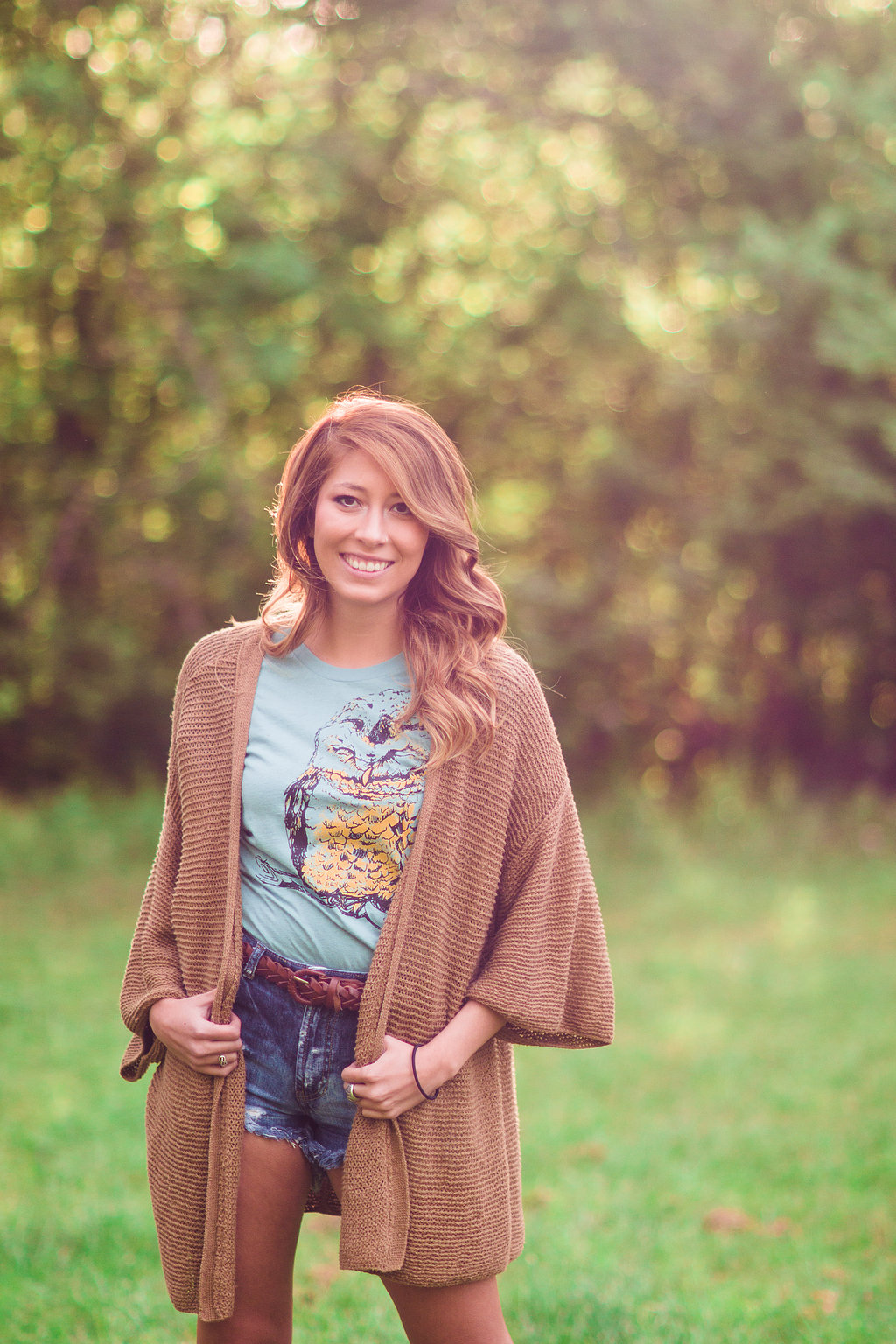
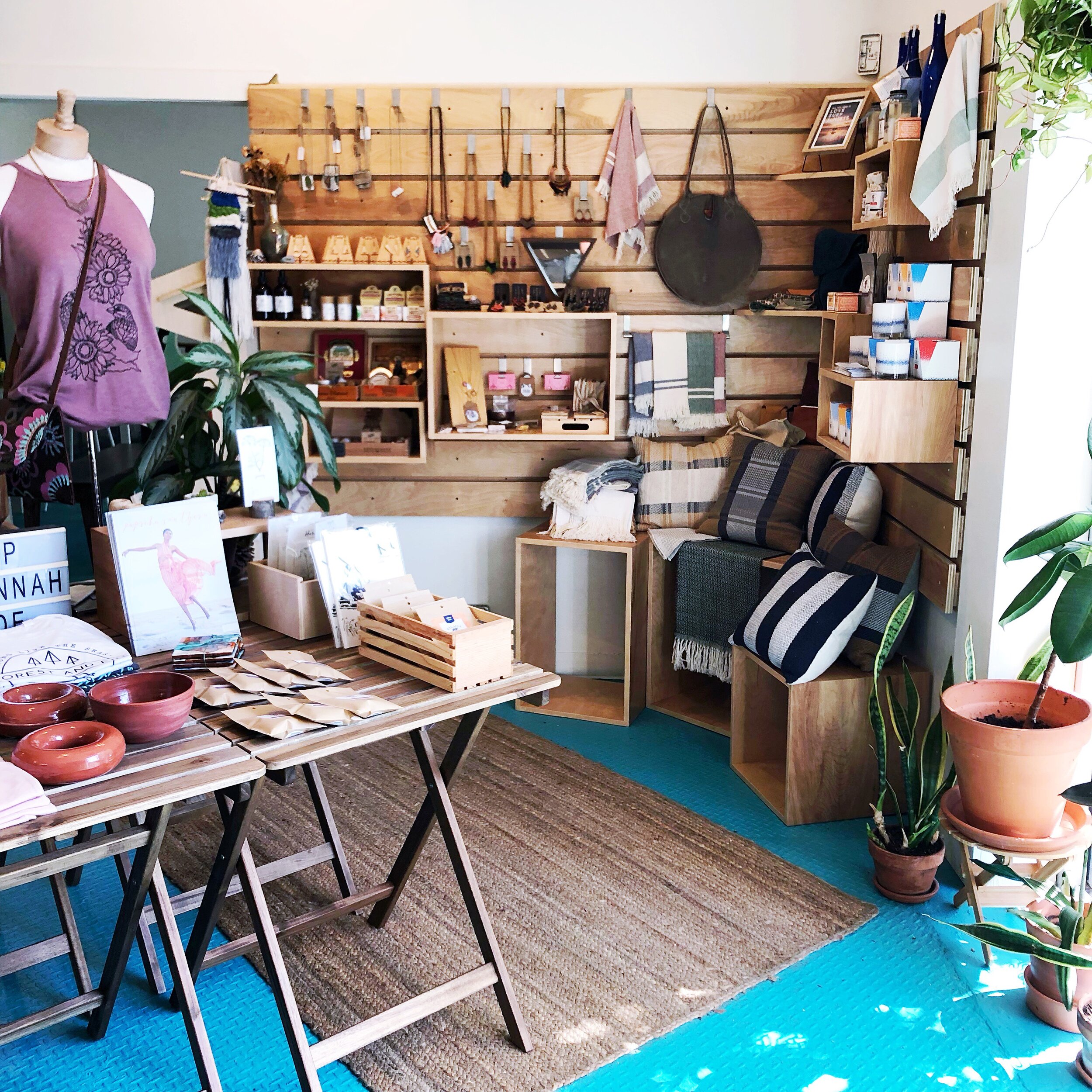
you can shop our products along with Quality Handcrafted items by 35+ local Makers.
Items include art, baby + kids items, bath & body, ceramics, home goods, illustrated paper goods, jewelry, leather accessories, screenprinted apparel, and more. We have goods for men, women, children, babies, and fur babies!
We're promoting local artists/designers and good vibes!


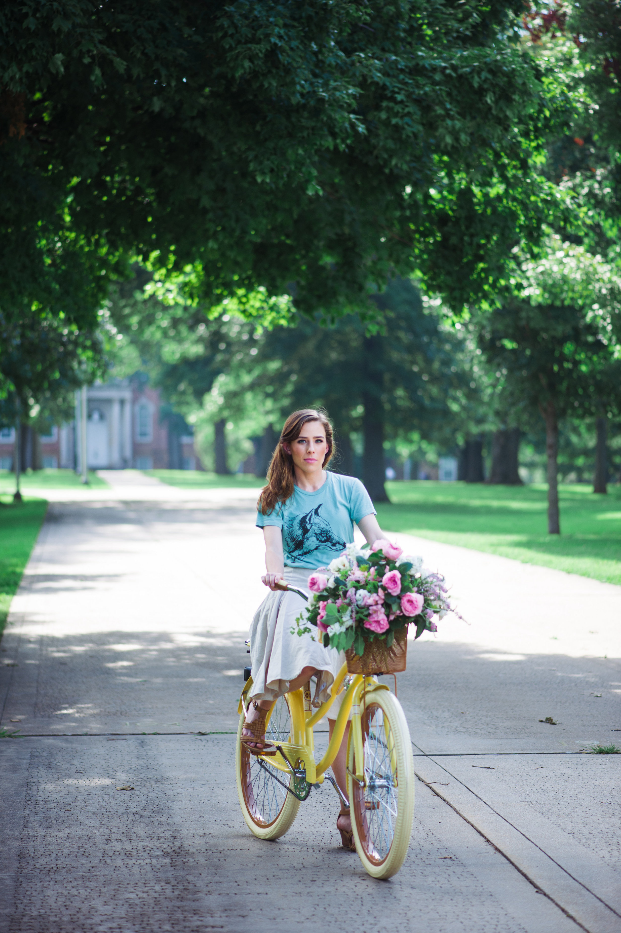
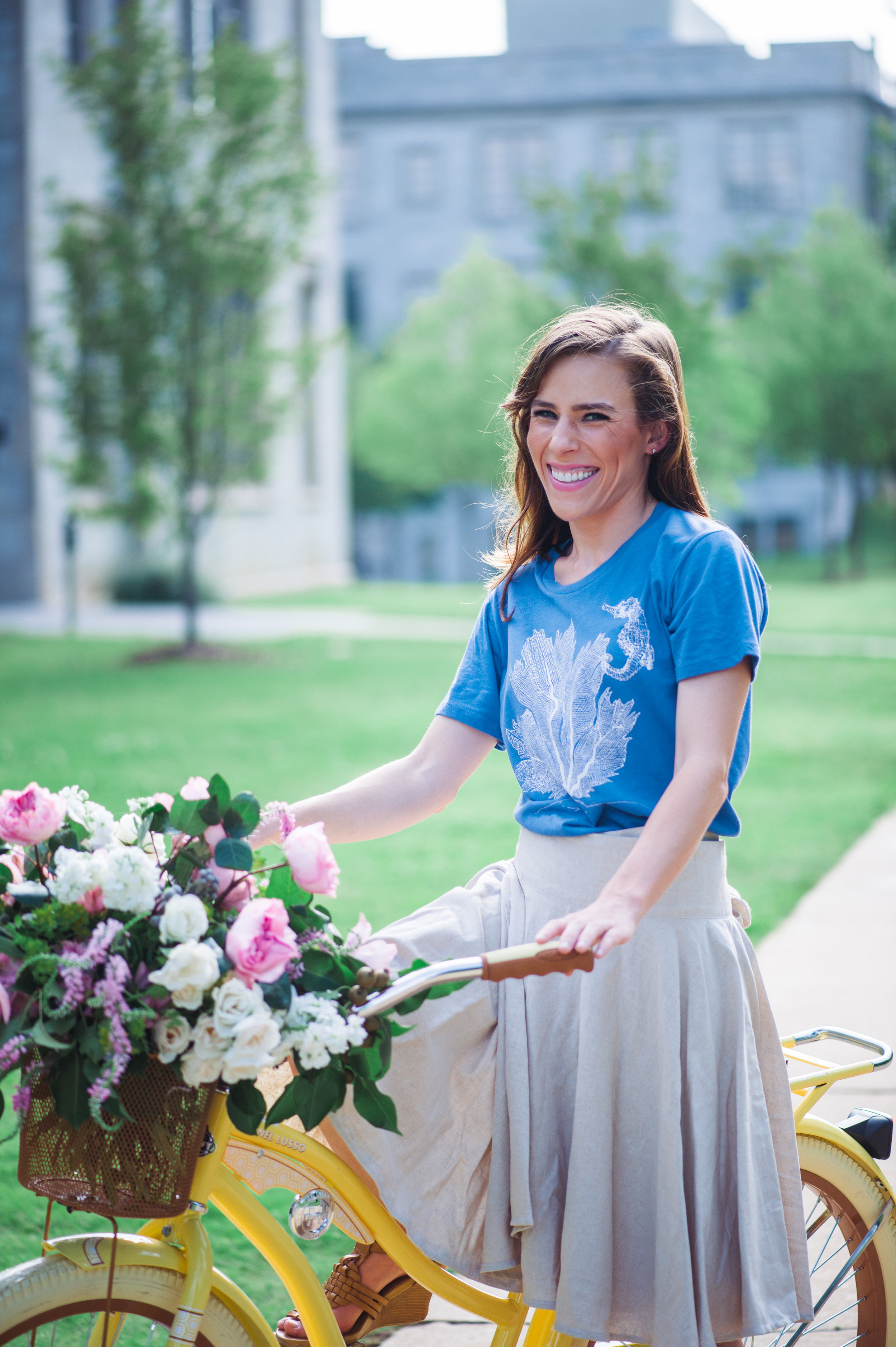
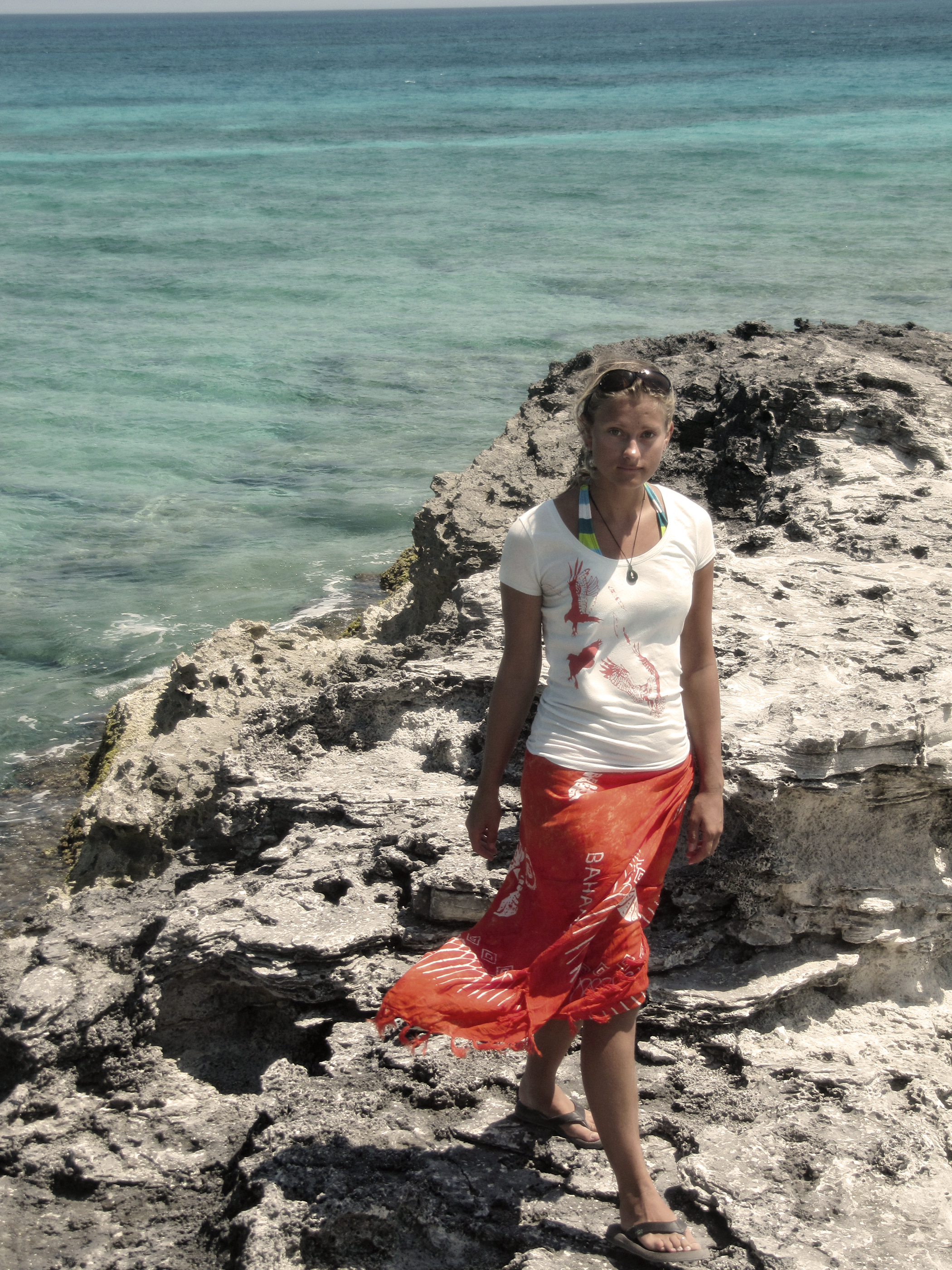
a life-friendly skirt for every adventure!

How it Works
The Bicycle Wrap Skirt has life-friendly features like hidden fasteners to prevent fly-up, deep pockets, and removable straps for biking that keep the skirt out of the tires & brakes.
How it's Made
Using earth-friendly sustainable materials and dye methods, the Bicycle Wrap Skirt is sewn at an employee-owned co-op right here in the USA.
Giving Back
In 2015, we donated two dollars from each skirt pre-sale to Girl Up's School Cycle program to help girls in third world rural communities get to school.

Special thanks for product photography courtesy of Kimberly Paige Photography, Aubrey Crow Photography, and Kelly Roetto Photography.